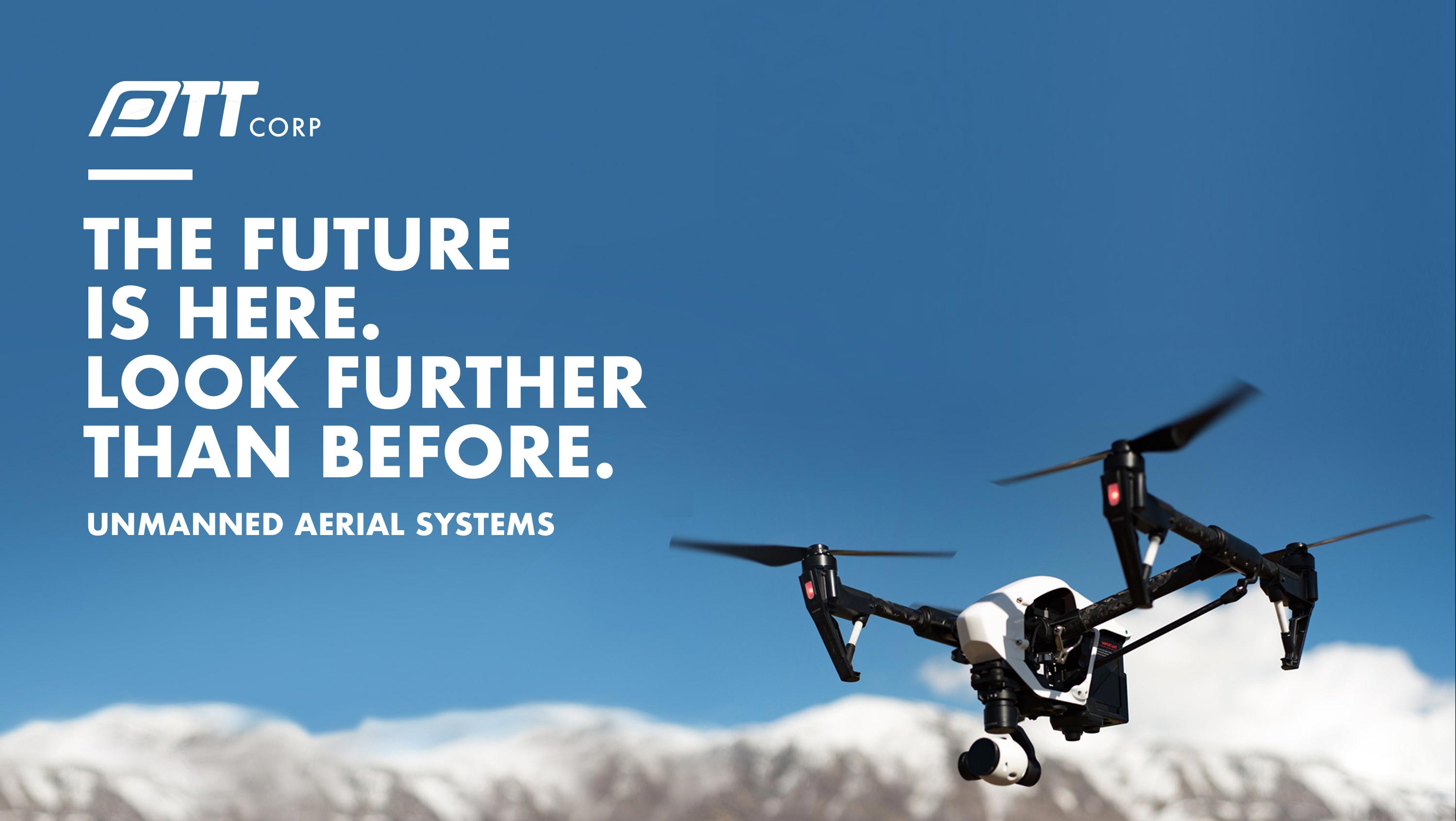
Unmanned Aerial Systems
PTT Corp operates a fleet of UAV (Unmanned Aerial Vehicle), commonly known as drones (drone photogrammetry and remote-sensing), to carry out aerial mapping, industrial inspection, surveying and aerial photography. This solution promises efficiency of your assets and allowing it to be understood from a different perspective.
Here’s how you can benefit from this solution:
Collect quick data and results
Minimize human resource risks
Better inspection from a safe distance
Reduce operational costs and downtime
Contact us at [email protected] for recommendations.